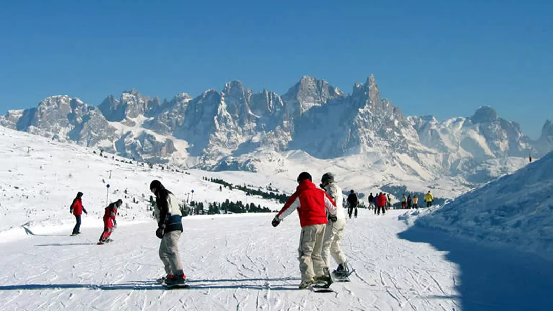
What is the weather like in Moena in Italy, and what is the forecast for the next few days? Check the current weather forecast for Moena on this page. Here, you will find the weather forecast for the next 48 hours as well as the next 14 days, so you’ll know exactly what to expect and what the weather will be like in Moena during your winter holiday.
The weather in Moena
On this page, you will find the current weather forecast for Moena, located in the ski resort of [skiarea] in Italy. Check the forecast and temperature for both the valley and the mountain. This will help you see what conditions will be like on the slopes and whether you need to add an extra layer for the day’s skiing. Will snow be in the forecast, or will the sun be shining? And what about the wind? How high is the frost line (0-degree limit), and what is the current snow depth in Moena? Read on for all this information!
Jump directly to:
48-hour weather forecast for Moena
16 April 2025
Night
Expectation 0 mm
0-degree limit 2532 metres

10°C

Morning
Expectation 0 mm
0-degree limit 2636 metres

9°C

Midday
Expectation 1 mm
0-degree limit 2718 metres

20°C

Evening
Expectation 1 mm
0-degree limit 2769 metres

15°C

17 April 2025
Night
Expectation 1 mm
0-degree limit 2865 metres

11°C

Morning
Expectation 6 mm
0-degree limit 2560 metres

9°C

Midday
Expectation 4 mm
0-degree limit 2514 metres

16°C

Evening
Expectation 3 mm
0-degree limit 2348 metres

12°C

16 April 2025
Night
Expectation 0 mm
0-degree limit 2601 metres

-1°C

Morning
Expectation 0 mm
0-degree limit 2587 metres

0°C

Midday
Expectation 1 mm
0-degree limit 2680 metres

1°C

Evening
Expectation 3 mm
0-degree limit 2738 metres

1°C

17 April 2025
Night
Expectation 3 mm
0-degree limit 2783 metres

1°C

Morning
Expectation 6 mm
0-degree limit 2489 metres

0°C

Midday
Expectation 12 cm
0-degree limit 2516 metres

0°C

Evening
Expectation 5 cm
0-degree limit 2278 metres

-1°C

14-day weather forecast for Moena
Date
Weather and snow
Expectation
Wind
Frost line
Date
Weather and snow
Expectation
Wind
Frost line


2522 metres
Date
Weather and snow
Expectation
Wind
Frost line


2201 metres
Date
Weather and snow
Expectation
Wind
Frost line


2067 metres
Date
Weather and snow
Expectation
Wind
Frost line


2152 metres
Date
Weather and snow
Expectation
Wind
Frost line


2294 metres
Date
Weather and snow
Expectation
Wind
Frost line


2115 metres
Date
Weather and snow
Expectation
Wind
Frost line


2209 metres
Date
Weather and snow
Expectation
Wind
Frost line


2386 metres
Date
Weather and snow
Expectation
Wind
Frost line


2529 metres
Date
Weather and snow
Expectation
Wind
Frost line


2572 metres
Date
Weather and snow
Expectation
Wind
Frost line


2552 metres
Date
Weather and snow
Expectation
Wind
Frost line


2553 metres
Date
Weather and snow
Expectation
Wind
Frost line


2388 metres
Date
Weather and snow
Expectation
Wind
Frost line


2354 metres
Date
Weather and snow
Expectation
Wind
Frost line


2528 metres
Date
Weather and snow
Expectation
Wind
Frost line


2178 metres
Date
Weather and snow
Expectation
Wind
Frost line


2041 metres
Date
Weather and snow
Expectation
Wind
Frost line


2119 metres
Date
Weather and snow
Expectation
Wind
Frost line


2320 metres
Date
Weather and snow
Expectation
Wind
Frost line


2158 metres
Date
Weather and snow
Expectation
Wind
Frost line


2200 metres
Date
Weather and snow
Expectation
Wind
Frost line


2383 metres
Date
Weather and snow
Expectation
Wind
Frost line


2486 metres
Date
Weather and snow
Expectation
Wind
Frost line


2546 metres
Date
Weather and snow
Expectation
Wind
Frost line


2548 metres
Date
Weather and snow
Expectation
Wind
Frost line


2523 metres
Date
Weather and snow
Expectation
Wind
Frost line


2401 metres
Date
Weather and snow
Expectation
Wind
Frost line


2337 metres
Snow depth in Moena
Snow is what makes a ski holiday special. Ideally, we wake up every day to Kaiser weather: a layer of fresh snow, bright sunshine, and a clear blue sky. However, icy temperatures and heavy snowfalls are also part of the experience. Or those foggy days when you ski from hut to hut, warming up with a cup of coffee, tea, or hot chocolate. When it comes to winter sports, the weather can be unpredictable, and nothing changes more rapidly than mountain weather. In addition to the forecast for the coming days, the current snow depth is a key part of the weather report in Moena. How much snow is there on the mountain and in the valley of the [skiarea] ski area? Check the table below to see the current snow depth in Moena.
Snow depth on the mountain and in the valley
Mountain: 0 cm
Valley: 0 cm
- Snow depth valley 0
- Cross-country ski trails open (km) 0
- Valley descent open Closed
- Hiking trails open (km) 0
Pistes Alpe Lusia - Bellamonte
Set up SnowAlert for Moena
Explanation of the weather forecast in Moena
The weather report for Moena is updated daily and is carefully compiled by meteorologists working with Snowplaza. Curious about the forecast for the next two days? Check out the 48-hour weather forecast, which provides information for the morning, afternoon, evening, and night. The symbols indicate whether snow or rain is expected, whether it will be cloudy, or if the sun will be shining. Click on "village" to see the weather conditions in the valley, and on "mountain" for forecasts at higher altitudes. The zero-degree line indicates the frost line, which changes depending on the temperature. Don't confuse it with the snowline—snow can still fall several hundred meters below the zero-degree line. For a longer-term outlook, check the 14-day weather forecast for Moena. Keep in mind that weather conditions can change dramatically over two weeks, so be sure to check back daily if you're planning a winter sports trip soon.


