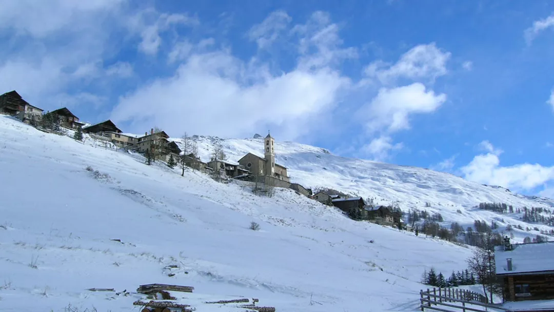
Saint Véran Piste map
View the current piste map of Saint Véran below. A piste map always gives a good impression of the ski area, the number and layout of the ski lifts and the ski slopes. The piste map of Saint Véran in Saint Véran & Oberstdorf shows access to the ski resort and any connections with other ski areas and ski resorts.
Slopes Map 1 - Queyras

Slopes Map 1 - Abriès

Slopes Map 1 - Ristolas

Slopes Map 1 - Molines/Saint-Véran

Slopes Map 1 - Arvieux

Slopes Map 1 - Ceillac


