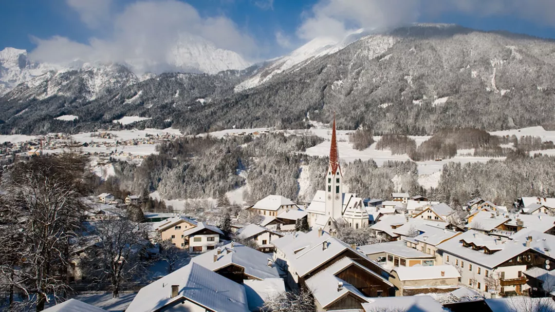
What is the weather like in Mieders in Austria, and what is the forecast for the next few days? Check the current weather forecast for Mieders on this page. Here, you will find the weather forecast for the next 48 hours as well as the next 14 days, so you’ll know exactly what to expect and what the weather will be like in Mieders during your winter holiday.
The weather in Mieders
On this page, you will find the current weather forecast for Mieders, located in the ski resort of Stubaital in Austria. Check the forecast and temperature for both the valley and the mountain. This will help you see what conditions will be like on the slopes and whether you need to add an extra layer for the day’s skiing. Will snow be in the forecast, or will the sun be shining? And what about the wind? How high is the frost line (0-degree limit), and what is the current snow depth in Mieders? Read on for all this information!
Jump directly to:
48-hour weather forecast for Mieders
19 April 2025
Night
Expectation 0 mm
0-degree limit 2539 metres

4°C

Morning
Expectation 0 mm
0-degree limit 2691 metres

12°C

Midday
Expectation 0 mm
0-degree limit 2820 metres

18°C

Evening
Expectation 0 mm
0-degree limit 2839 metres

12°C

20 April 2025
Night
Expectation 0 mm
0-degree limit 2719 metres

7°C

Morning
Expectation 0 mm
0-degree limit 2843 metres

13°C

Midday
Expectation 0 mm
0-degree limit 2783 metres

18°C

Evening
Expectation 0 mm
0-degree limit 2675 metres

12°C

19 April 2025
Night
Expectation 0 mm
0-degree limit 2485 metres

-1°C

Morning
Expectation 0 mm
0-degree limit 2685 metres

2°C

Midday
Expectation 0 mm
0-degree limit 2803 metres

4°C

Evening
Expectation 0 mm
0-degree limit 2801 metres

2°C

20 April 2025
Night
Expectation 0 mm
0-degree limit 2634 metres

0°C

Morning
Expectation 0 mm
0-degree limit 2776 metres

2°C

Midday
Expectation 0 mm
0-degree limit 2787 metres

4°C

Evening
Expectation 0 mm
0-degree limit 2648 metres

2°C

14-day weather forecast for Mieders
Date
Weather and snow
Expectation
Wind
Frost line
Date
Weather and snow
Expectation
Wind
Frost line


2350 metres
Date
Weather and snow
Expectation
Wind
Frost line


2559 metres
Date
Weather and snow
Expectation
Wind
Frost line


2483 metres
Date
Weather and snow
Expectation
Wind
Frost line


2196 metres
Date
Weather and snow
Expectation
Wind
Frost line


2319 metres
Date
Weather and snow
Expectation
Wind
Frost line


2201 metres
Date
Weather and snow
Expectation
Wind
Frost line


1985 metres
Date
Weather and snow
Expectation
Wind
Frost line


1847 metres
Date
Weather and snow
Expectation
Wind
Frost line


1807 metres
Date
Weather and snow
Expectation
Wind
Frost line


1959 metres
Date
Weather and snow
Expectation
Wind
Frost line


2110 metres
Date
Weather and snow
Expectation
Wind
Frost line


2268 metres
Date
Weather and snow
Expectation
Wind
Frost line


2263 metres
Date
Weather and snow
Expectation
Wind
Frost line


2028 metres
Date
Weather and snow
Expectation
Wind
Frost line


2346 metres
Date
Weather and snow
Expectation
Wind
Frost line


2513 metres
Date
Weather and snow
Expectation
Wind
Frost line


2459 metres
Date
Weather and snow
Expectation
Wind
Frost line


2211 metres
Date
Weather and snow
Expectation
Wind
Frost line


2319 metres
Date
Weather and snow
Expectation
Wind
Frost line


2201 metres
Date
Weather and snow
Expectation
Wind
Frost line


1985 metres
Date
Weather and snow
Expectation
Wind
Frost line


1847 metres
Date
Weather and snow
Expectation
Wind
Frost line


1807 metres
Date
Weather and snow
Expectation
Wind
Frost line


1959 metres
Date
Weather and snow
Expectation
Wind
Frost line


2110 metres
Date
Weather and snow
Expectation
Wind
Frost line


2268 metres
Date
Weather and snow
Expectation
Wind
Frost line


2263 metres
Date
Weather and snow
Expectation
Wind
Frost line


2028 metres
Snow depth in Mieders
Snow is what makes a ski holiday special. Ideally, we wake up every day to Kaiser weather: a layer of fresh snow, bright sunshine, and a clear blue sky. However, icy temperatures and heavy snowfalls are also part of the experience. Or those foggy days when you ski from hut to hut, warming up with a cup of coffee, tea, or hot chocolate. When it comes to winter sports, the weather can be unpredictable, and nothing changes more rapidly than mountain weather. In addition to the forecast for the coming days, the current snow depth is a key part of the weather report in Mieders. How much snow is there on the mountain and in the valley of the Stubaital ski area? Check the table below to see the current snow depth in Mieders.
Snow depth on the mountain and in the valley
Mountain: 0 cm
Valley: 0 cm
- Snow depth valley 0
- Cross-country ski trails open (km) 0
- Valley descent open Closed
- Hiking trails open (km) 0
Pistes Serles
Set up SnowAlert for Mieders
Explanation of the weather forecast in Mieders
The weather report for Mieders is updated daily and is carefully compiled by meteorologists working with Snowplaza. Curious about the forecast for the next two days? Check out the 48-hour weather forecast, which provides information for the morning, afternoon, evening, and night. The symbols indicate whether snow or rain is expected, whether it will be cloudy, or if the sun will be shining. Click on "village" to see the weather conditions in the valley, and on "mountain" for forecasts at higher altitudes. The zero-degree line indicates the frost line, which changes depending on the temperature. Don't confuse it with the snowline—snow can still fall several hundred meters below the zero-degree line. For a longer-term outlook, check the 14-day weather forecast for Mieders. Keep in mind that weather conditions can change dramatically over two weeks, so be sure to check back daily if you're planning a winter sports trip soon.


